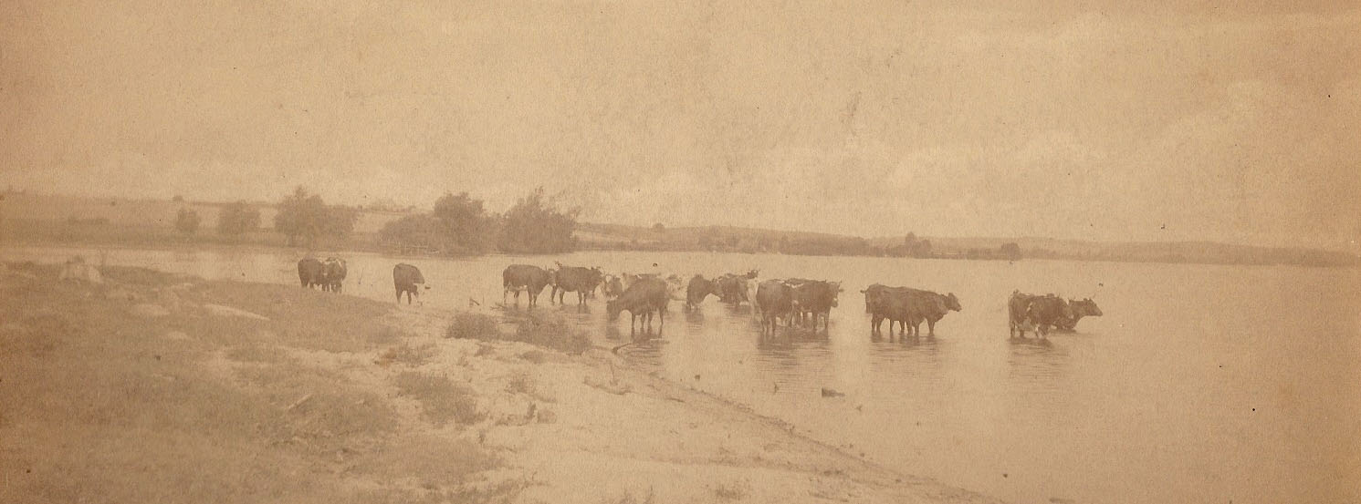
Early 1800s~The area was occupied by Winnebago Indians, who had a village right by the springs. They called the springs "Makamai" which meant "medicine springs."
1832~The Black Hawk Indian War resulted in Native Americans being relocated out of southern Wisconsin.
1833 to 1835~Eastern land companies came to Dane County to survey the land for sale and settlement.
1835~The first lots in the Spring Harbor area were sold to Eastern land speculators at $1.25 per acre. These purchases were made a "section" at a time, which represented about 640 acres. These owners didn't actually live on the land. One of the first of these speculators was Francis R. Tillou.
1836~Wisconsin Territory was created from part of the Michigan Territory. The new terriroty included Wisconsin, Eastern Minnesota, and the area east of the Missouri River.
1836~During the first legislative sessions at Belmont, James Duane Doty persuaded the Wisconsin Territory legislature to select the site of Madison as its capital.
1846~Madison was incorporated as a village.
1848~Wisconsin became the 13th state. Madison's population was 300.
1849~The first University of Wisconsin class was offered for 17 students.
1850'sSettlers who farmed and lived on their own land started purchasing acres around Spring Harbor. Alfred Merrill, for whom Merrill Springs is named, was one of these early farmers.
1853~John Clute, who had purchased a large portion of Spring Harbor from Francis Tillou, sold the land to Rev. Louis Jenkins and his wife, Adelia Tyler Jenkins.
1905~This photo of the Pearson family's cows standing where the Spring Harbor is currently located was probably taken in the early 1900s.
1907~Joseph Pearson sold 160 acres to Ernest N. Warner for $30,000. The lot went from the railroad tracks to Lake Mendota Drive and also included a number of lots along the lake. Warner had already owned 80 acres, so this purchase gave him 240 acres for his dairy farm.
1910~Ernest N. Warner gifted Merrill Springs to Madison's Park and Pleasure Drive Association, which was a forerunner of the Madison Park System. Merrill Springs Park was formed from this gift. He also gave an the city an easement from the springs up to Lake Mendota Drive, which exists as a footpath today.
1910~The marshy land at the end of Spring Harbor's river was dredged to form a harbor very similar to what is there today. Lake Mendota Drive had to be moved in order to accommodate this change to the lakefront. There had previously been a rock foot bridge spanning the marshy land, which was removed to create the harbor.
1920~Madison population was around 35,000.
1934~University Avenue was constructed, bisecting the Warner farm. Cattle would pasture on the lake side of Univeristy during the day and cross through a cement walkway which was located near Perkins in order to reach the barn at nightfall.
1940~Risser Road was named and placed on a map of the Madison area. (year approximate)
1940~Madison's population was around 67,000.
1949~The Spring Harbor area became part of the City of Madison.
1958~Indian Hills development was platted and construction began.
1960~The city of Madison placed a deep well in Indian Hills in order to keep up with the demand for city tap water. As a result, many of the natural springs in Spring Harbor have gone dry.